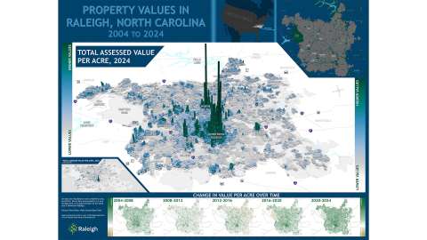
To be eligible, map submission had to be:
- An original work
- Standard size (does not exceed 34” x 44”)
- Shared a printed version in addition to a digital submission
- Contained elements generated using GIS-based methods
All eligible maps were displayed at Raleigh Union Station during the celebration on Thursday, Nov. 21. The winners received the highest number of votes from GIS Day attendees who judged the quality, content, and creativity of the map.
Tabling Participants
Thank you to our tabling participants who shared their GIS work:
- 4-H Youth Development
- NC Department of Environmental Quality
- NC Department of Transportation
- NC Department of Transportation-Rail Division
- NC Department of Health and Human Services
- NC Center for Geographic Information and Analysis
- Raleigh Department of Transportation
- Raleigh Housing and Neighborhoods
- Raleigh Information Technology
- Raleigh Parks and Recreation
- Raleigh Planning
- Raleigh Public Utilities
- Raleigh Solid Waste Services
- Raleigh Stormwater
- Town of Garner-Planning
- Wake County Community Services
- Wake County GIS-Addressing
- Wake County Planning Department
- Wake County Project and Portfolio Management Team
- Wake County Public Schools
- UNC Geography Department


